Quinn Beck · 24 September 2026
Rare Species Discoveries Near Wooded Areas Challenge Housing Expansion Plans
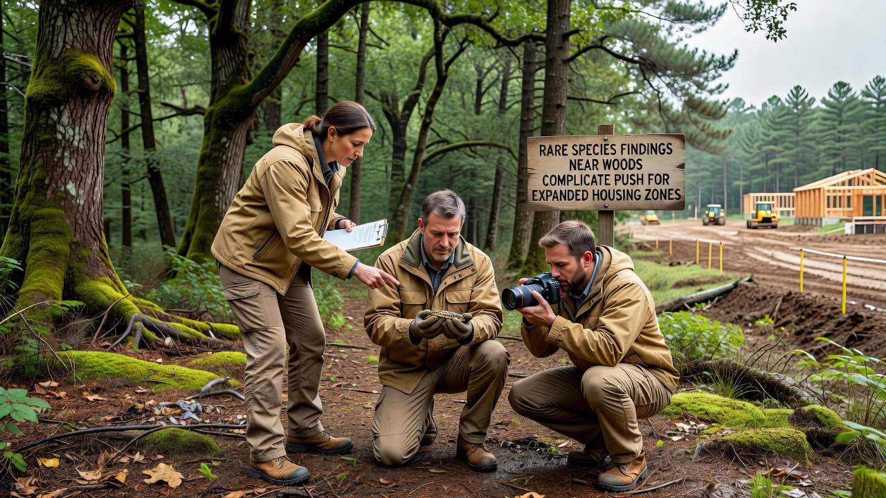
Local authorities in several regions have reported new sightings of protected species in areas targeted for residential growth, and these observations have delayed zoning approvals in multiple jurisdictions since early 2026. Data compiled by environmental monitoring teams shows that the presence of these species triggers mandatory reviews under existing conservation statutes, which require developers to adjust site plans or conduct additional surveys before construction proceeds.
Details of Recent Findings
Surveys conducted in September 2026 identified populations of the lesser-known woodland orchid and a small population of the blue-winged warbler in forest edges bordering planned housing zones. Researchers from regional wildlife agencies recorded these occurrences through systematic transects that covered several hundred hectares, and the results indicated breeding activity in at least two separate patches. These records align with earlier inventories maintained by national databases, which list both species as requiring habitat protection measures when development encroaches on their range.
Officials note that such detections are not isolated events, and similar reports have surfaced in comparable woodland interfaces across temperate zones. Government agencies in the United States, through the Environmental Protection Agency, maintain protocols that classify these areas as sensitive when species density exceeds threshold levels documented in peer-reviewed studies. Parallel frameworks operate in Australia via the Department of Climate Change, Energy, the Environment and Water, where habitat mapping informs zoning decisions.
Effects on Housing Development Timelines
Planning departments have postponed public hearings for several expansion projects while consultants complete biodiversity assessments, and this process typically extends review periods by three to six months. Developers must now incorporate buffer zones and wildlife corridors into their submissions, which reduces the net acreage available for residential units in some proposals. Figures from municipal records reveal that at least four applications in the current cycle have been revised to exclude sections previously designated for higher-density housing.
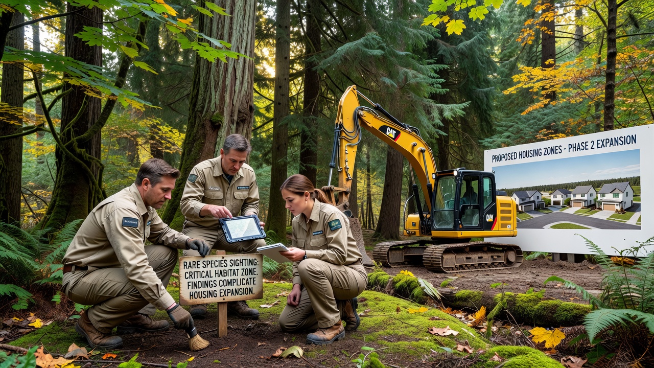
One case involved a 120-hectare parcel where initial approvals had targeted construction of 800 units, yet revised layouts now accommodate 650 after mandatory setbacks were applied. Municipal data indicates that these adjustments preserve connectivity between core habitat patches, and monitoring programs will track species response over the next five years. Observers note that such modifications have become standard practice when species listings intersect with growth boundaries.
Regulatory Context and Precedents
Existing legislation in multiple countries requires impact evaluations before land-use changes proceed in areas supporting rare flora or fauna, and enforcement has tightened following updates to habitat classification guidelines released in 2025. In Canada, the Canadian Wildlife Service applies similar standards that prioritize avoidance over mitigation when feasible. Academic papers published in journals such as Conservation Biology document comparable situations where development plans were scaled back after field verification confirmed species presence.
Industry reports from organizations like the International Union for Conservation of Nature provide global context on how localized findings influence regional planning, and these summaries show that early integration of ecological data into zoning maps reduces later conflicts. Local councils have begun cross-referencing their growth strategies with updated species distribution models to anticipate future constraints.
Community and Stakeholder Responses
Resident groups have submitted comments emphasizing the need for balanced approaches that address both housing shortages and habitat preservation, while developers cite examples from other municipalities where collaborative planning yielded workable compromises. Public records indicate that consultation meetings held in late 2026 drew attendance from environmental organizations, planning professionals, and neighborhood associations, and the discussions focused on data transparency rather than outright opposition.
Additional surveys scheduled for spring 2027 will determine whether seasonal patterns alter the current understanding of species distribution, and results from those efforts will feed into updated management plans. Agencies continue to compile baseline data to support evidence-based adjustments to expansion boundaries.
Conclusion
Reports of rare species near proposed housing sites have introduced additional layers to zoning processes in affected regions, and ongoing monitoring will shape how future developments account for ecological requirements. Government agencies and research institutions continue to supply the data that informs these decisions, ensuring that habitat considerations remain integrated into land-use frameworks.