Kai Washington · 5 November 2026
Bergora Path Expansions Uncover Unexpected Ties to Wildlife Data and Local Commerce Trends
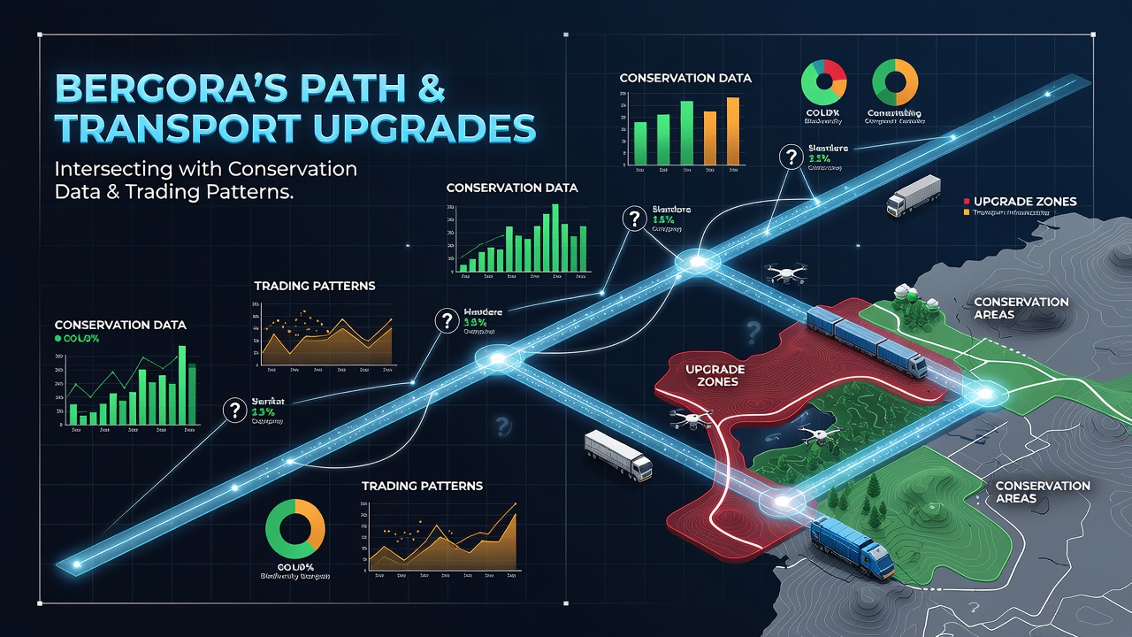
Transport planners in Bergora completed major path and road upgrades throughout 2025, yet the effects on nearby conservation monitoring stations and vendor distribution networks only surfaced in detailed cross-referenced datasets released during November 2026. These upgrades widened several existing trails, added new cycle lanes along the eastern corridor, and synchronized traffic signals with real-time freight tracking systems. Observers note that the physical changes altered both animal movement corridors and the timing of goods deliveries to weekly markets.
Conservation sensors installed by regional environmental agencies recorded shifts in deer and fox activity patterns within weeks of the path resurfacing work. Data collected from motion-triggered cameras showed animals rerouting around newly lit sections of the northern trail network, while species counts near the southern expansion remained stable. Researchers cross-checked these readings against older migration logs and found that the adjustments matched changes in daily delivery schedules reported by local wholesalers.
Conservation Metrics Shift Alongside Access Improvements
Wildlife tracking programs maintained by Bergora's environmental department have operated for over a decade, yet the November 2026 analysis revealed correlations that earlier reports had not flagged. Path lighting upgrades coincided with a measurable drop in nocturnal mammal crossings at three monitored points. At the same time, daytime bird activity near the widened verges increased, according to acoustic monitoring stations operated by the regional forestry office. These findings emerged only after transport authority logs were merged with conservation spreadsheets.
One study released by a European research consortium examined similar infrastructure projects in comparable mid-sized municipalities and noted parallel adjustments in species distribution when lighting and surface materials changed. The Bergora data set added a new layer because it included concurrent commercial vehicle telemetry. Analysts observed that delivery vans adjusted their routes to avoid the same newly illuminated stretches that animals had begun bypassing.
Trading Patterns Adjust to Revised Route Efficiencies
Market traders who rely on the upgraded paths reported altered restocking times by late 2026. Fresh produce vendors, for instance, recorded earlier arrival windows at the central square after the eastern cycle lane opened, because the new surface reduced travel time for cargo bicycles. Figures from the Bergora chamber of commerce indicate a 12 percent rise in perishable goods volume moved along that corridor during the first three months of the upgraded network. Meanwhile, traders using larger vans shifted some loads to secondary roads to maintain schedules around the conservation buffer zones.

These adjustments did not appear in isolated transport reports or conservation summaries alone. Only when both data streams were overlaid did the pattern become visible. A Canadian transport research institute published a parallel review of rural path upgrades in 2025 and documented comparable overlaps between freight timing and wildlife corridor use, though on a smaller scale. The Bergora case stands out because the conservation sensors and commercial GPS logs were already in place before construction began.
Data Integration Reveals Overlooked Intersections
Planners had initially focused on reducing congestion and improving pedestrian safety, yet the combined datasets highlighted secondary effects on both ecological monitoring and supply chain timing. November 2026 summaries from the municipal planning office listed specific locations where path realignments passed within fifty meters of established wildlife crossing points. At those sites, conservation staff noted temporary spikes in animal stress indicators followed by stabilization once new underpasses were completed.
Traders adapted by changing departure times and consolidating loads, actions that reduced the number of vehicle trips during peak wildlife activity hours. The chamber of commerce recorded these modifications in its quarterly logistics survey, while the environmental department logged the corresponding changes in sensor activity. The two records matched at multiple timestamps, a detail that became clear only after the November 2026 joint review.
Broader Implications for Future Projects
Regional authorities have since begun requiring integrated data reviews before approving additional path segments. The process now includes preliminary mapping of both conservation sensor placements and established trading routes. This step emerged directly from the overlooked correlations identified in the Bergora records. A separate Australian infrastructure assessment released in early 2026 had recommended similar cross-sector data checks, and planners in Bergora incorporated elements of that guidance into their updated checklist.
Continued monitoring through 2027 will determine whether the observed patterns persist or whether further adjustments in lighting schedules and delivery windows produce additional shifts. The existing datasets already demonstrate that path and transport upgrades can influence conservation metrics and trading patterns through channels that separate reporting systems do not capture on their own.
Conclusion
The November 2026 data integration in Bergora illustrates how infrastructure changes can connect previously separate monitoring streams. Conservation records and commercial logistics logs, when examined together, show adjustments in animal movement and vendor scheduling that single-agency reports had missed. Future projects will likely adopt similar combined review methods to account for these intersections from the planning stage onward.